It is April. In Northern Norway, trees still remain without leaves. Ice and snow still covers much of the inland areas and mountains (Figure 1).
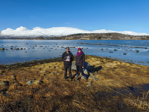
Figure 1: Galice Hoarau and Chloé Maréchal (Nord University, Norway), mapping seagrass with a drone.
Under water, spring has arrived much earlier. As early as February, seagrass had already grown leaves longer than 20cm. Snorkling above seagrass meadows is enchanting, especially when they cover several hundreds of meters. However, from an underwater perspective, you are always left wondering where a meadow starts and where it ends. How is it shaped? Into which depths does it reach? How dynamic is its shape: is it stable over the years or does it shift and restructure between seasons?
To answer these questions, we need to leave the water and take a bird’s eye view on seagrass meadows. Drones (unmanned aerial vehicles) make this feasible and affordable. A drone can be programmed to fly along a certain route and take pictures of the area below (Figure 2).
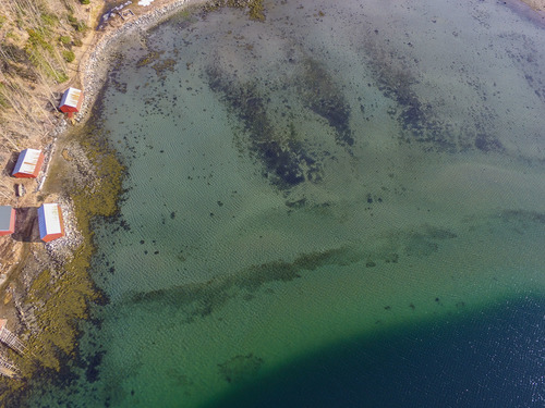
Figure 2: Aerial picture of seagrass (darker regions) taken from a drone.
The geographic coordinates of each picture is known and, thus, can be used to map each picture into geographic space. For an example, see https://www.mapsmadeeasy.com/maps/public/1f5fb6f7aeaa4f7398182fbf158d5a53.
Fixed and stable or in constant motion? Regular mapping of seagrass meadows over the coming years will visualize the ‘hidden’ dynamics of seagrass meadows.